Using cold atom interferometry to pinpoint resources

What is
Cold Atom Interferometry?
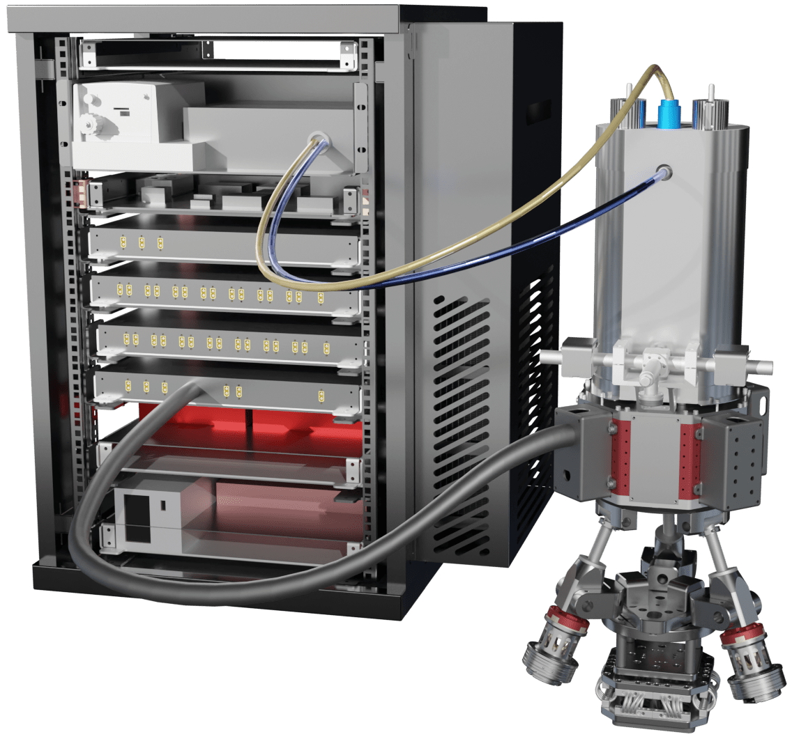
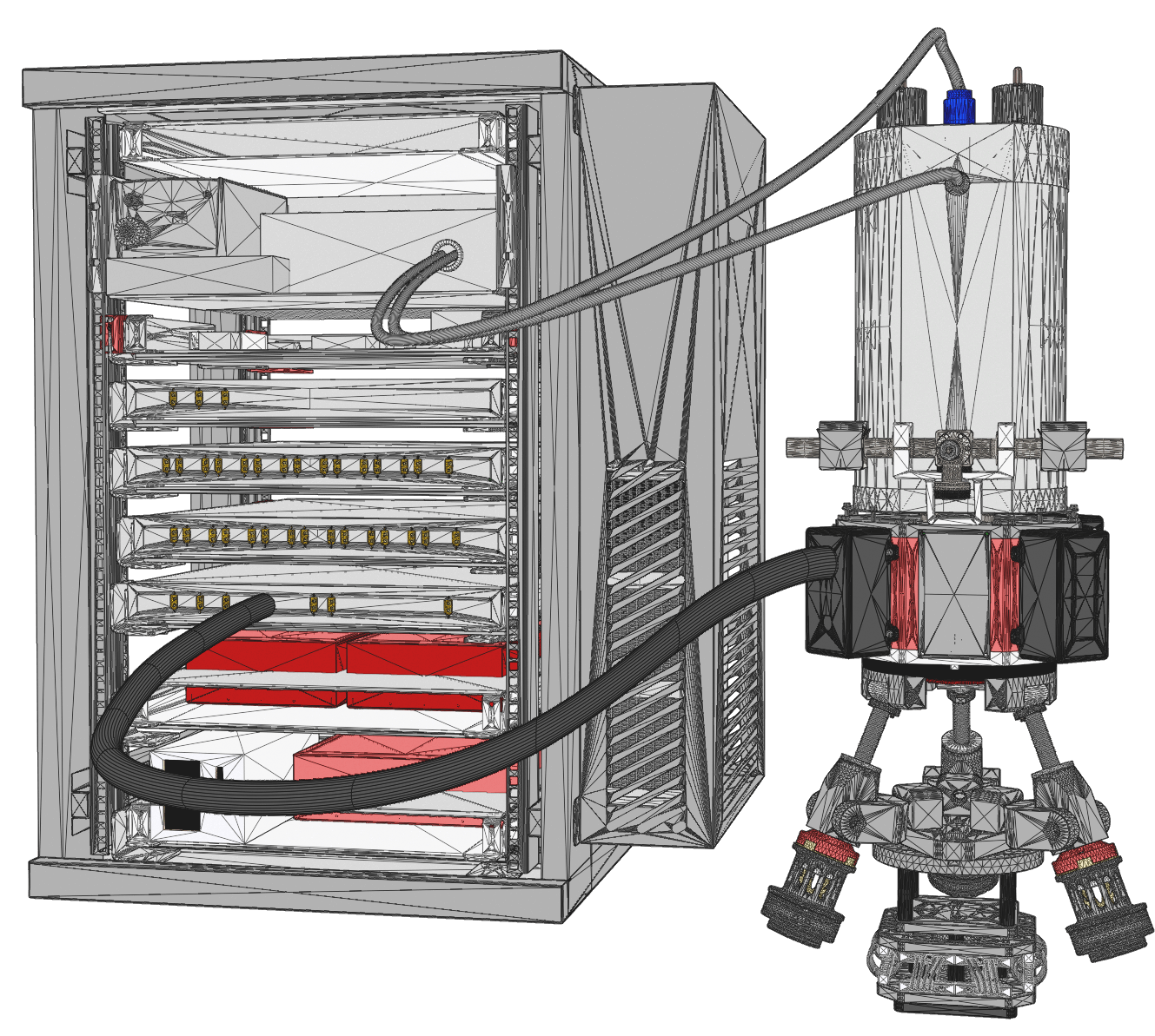
The first commercially available absolute quantum gravimeter optimized for moving-base applications. It enables application areas that were not feasible before by automatically acquiring drift-free data on a moving platform.
The first commercially available absolute quantum gravimeter optimized for moving-base applications. It enables application areas that were not feasible before by automatically acquiring drift-free data on a moving platform.

Drift Free Measurement

Moving Base Gravimetry

Autonomous Data Aquisition
OREO™
An AI-based geophysical processing platform that utilizes Gravio's unique datasets to generate 3D models of the subsurface.

Pinpoint Targets

Reduce False Positive Drills
Estimate Resources